Languages spoken
- French
Opening
Subject to favorable snow and weather conditions.
Vigilance orange - Risque d'avalanche
Plus d'infos


The circuit continues to Contamine sur Arve, crossing the towns of Magland, Cluses, Thyez and its lake as well as Bonneville for a total distance of approximately 50 km
A greenway… what is it?
A greenway: reserved for active modes
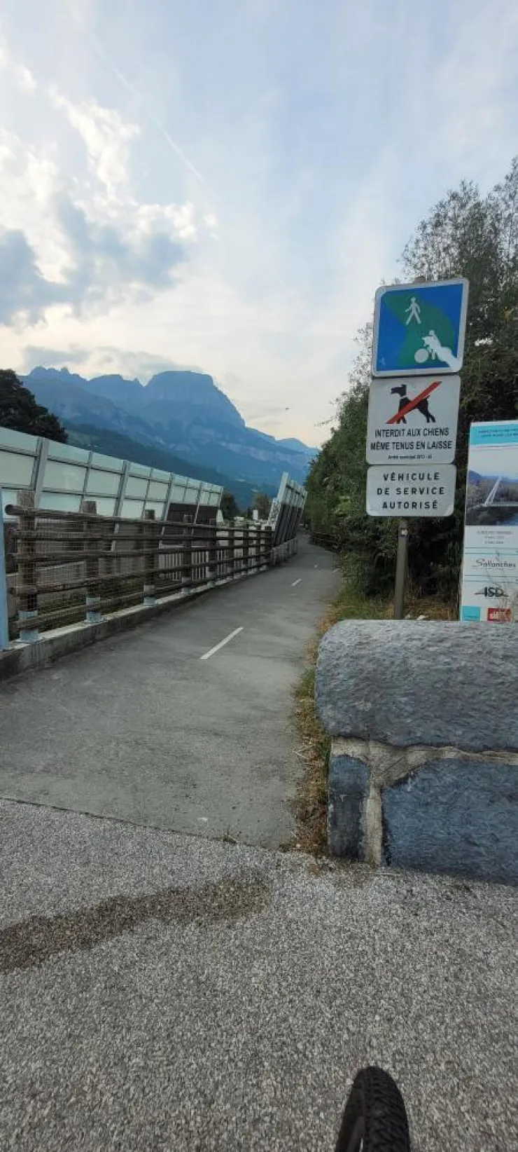
A greenway is a dedicated site development reserved for pedestrians, cyclists, rollerbladers, people with reduced mobility and sometimes horse riders. Prohibited to motorized traffic, it is suitable for tourist, leisure or everyday travel. It must be accessible to as many people as possible and secured accordingly.
A cycle route… what is it?
A cycle route: a continuous route in the heart of the territories
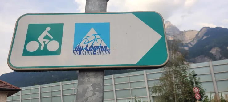
A cycle route is a medium or long distance cycle route, which can use all types of secure routes including greenways or routes with low motorized traffic. Continuous, marked and attractive, it must be usable by all cyclists, including the less experienced.
1/ Coming from Passy, cross the Pont de la Carabotte which is on your left, towards Lake Passy.
2/ on a road bike it is advisable to continue the road towards Lake Passy, rather than taking the dirt road.
3/ you will follow the lake on your left and the railway line on your right
4/ at the end of the road cross the railway line on your right to join the Route de l'Arve and follow it to Sallanches.
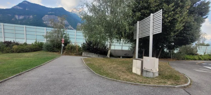
5/ before the Europe roundabout, turn right to take a tunnel which passes under the motorway (small slope which goes up after the tunnel on the left)
6/ you will arrive opposite the village of St Martin where you can admire its Old Bridge, listed as a Historic Monument, and its small church with its Baroque interior.
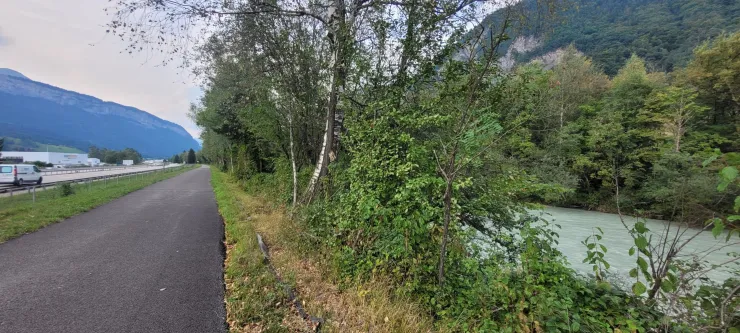
7/ continue along the greenway while continuing to follow the Arve on your right to Bois Noir.
8/ you will pass next to the footbridge which leads to the Ilettes lakes via a dirt path (possible detour a little further if you wish to make a swimming or contemplative stop at the water's edge)
9/ you will have to leave this greenway at Bois Noir and take the road which crosses the Luzier bridge.
10/ in order to avoid the dirt road which runs along the Arve on your left, you will continue on the Luzier road and then turn left towards the Arpenaz waterfall.
11/ a stop is recommended to admire this magnificent 270m high waterfall (picnic tables are available on site)
12/ continue straight on the road to Oëx until the old restaurant “Chez l’Arlette”
13/ Continue past the restaurant to then cross a passage under the main road and join the route leading to Magland.