Languages spoken
- French
Opening
From 01/06 to 15/10 daily.
Subject to favorable snow and weather conditions.
Subject to favorable snow and weather conditions.

Départ : parking de Lintre - Phiterne
Route de Sainte Anne
74700 Sallanches
France


The Gouille des Fours – Step-by-step route description
Start: Lintre, Phiterne car park ⚠️
Very small car park: limited number of spaces. Car sharing is recommended.
1. Follow the vehicle track to the junction, then take the trail climbing up to the right towards Couterre.
2. Continue climbing through the alpine meadows towards Marcolaz. The climb is fairly long, but offers beautiful views over the surrounding alpine pastures. Continue to the junction signposted Pierre Fendue / Gouille des Fours.
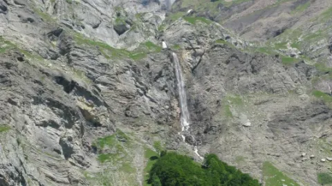
3. At the junction, take the small trail on the right towards Lanchéron. The route quickly becomes steep and rugged, climbing alongside the Fours waterfall.
4. At Lanchéron, continue towards Chombas. The trail then becomes exposed, with several sections equipped with cables and ladders. ⚠️ Take particular care on these sections.
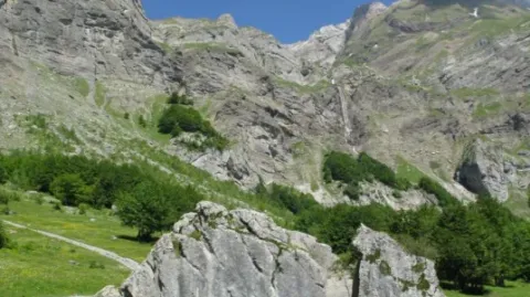
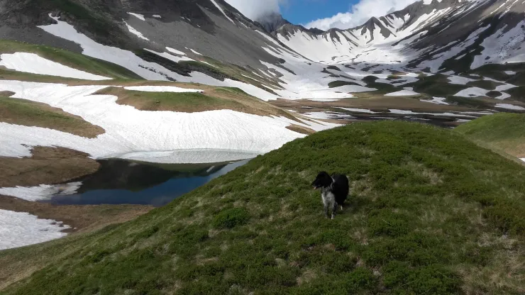
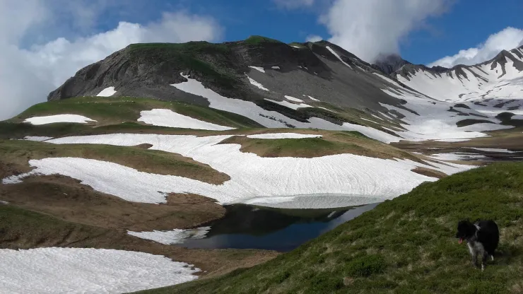
5. Once past these technical sections, continue through the alpine meadows towards Les Fours. The trail crosses a vast, lush green valley, where some patches of snow may still remain at the beginning of the season.
6. You then cross a large alpine pasture where flocks of sheep may be present. ⚠️ Beware of livestock guardian dogs (patous). Do not approach or touch the sheep, avoid sudden movements and calmly walk around the flock, keeping your distance.
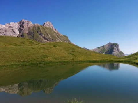
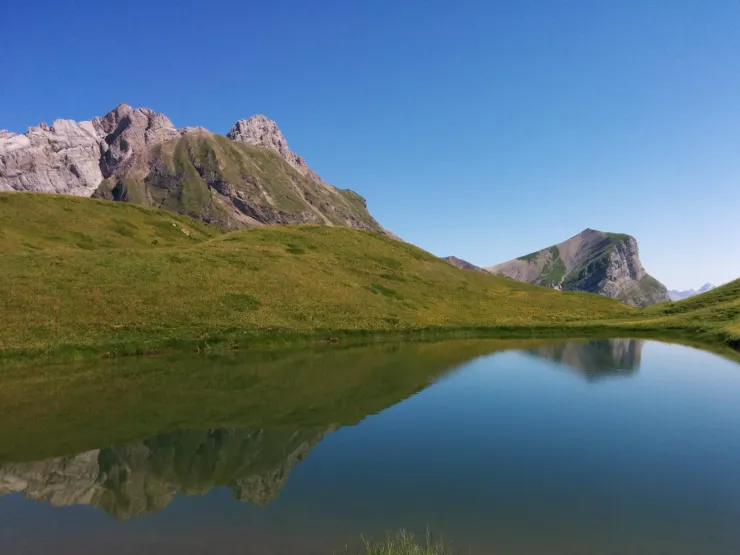
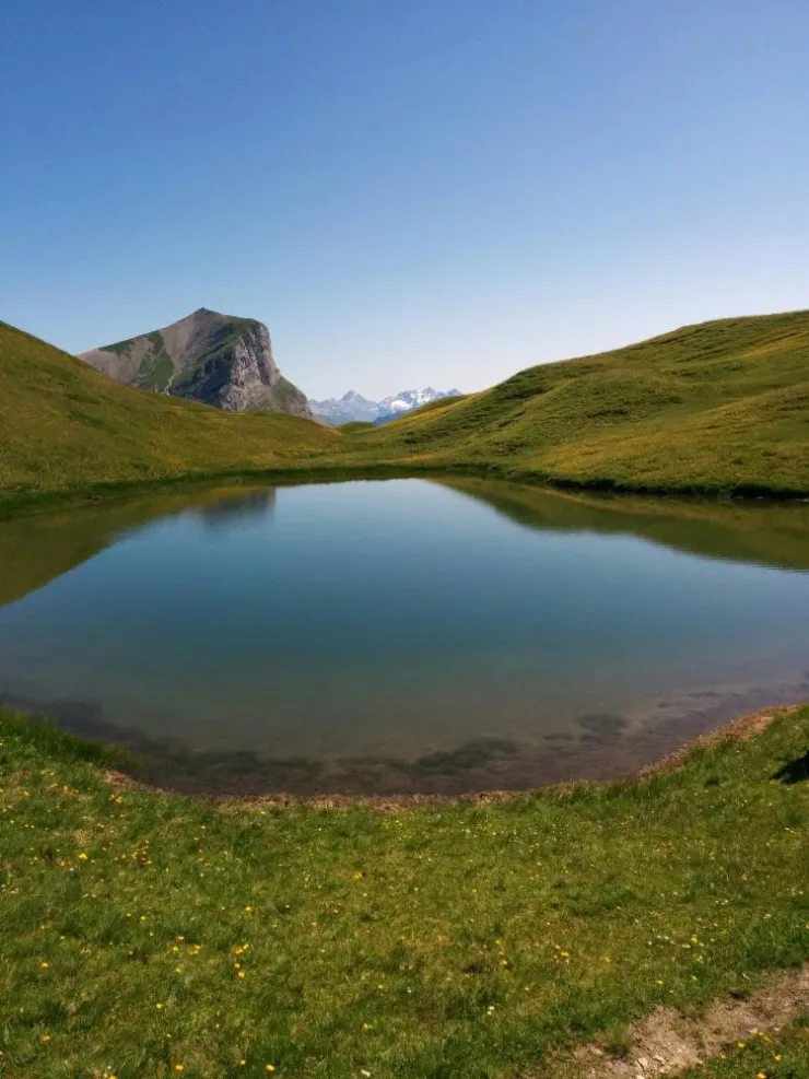
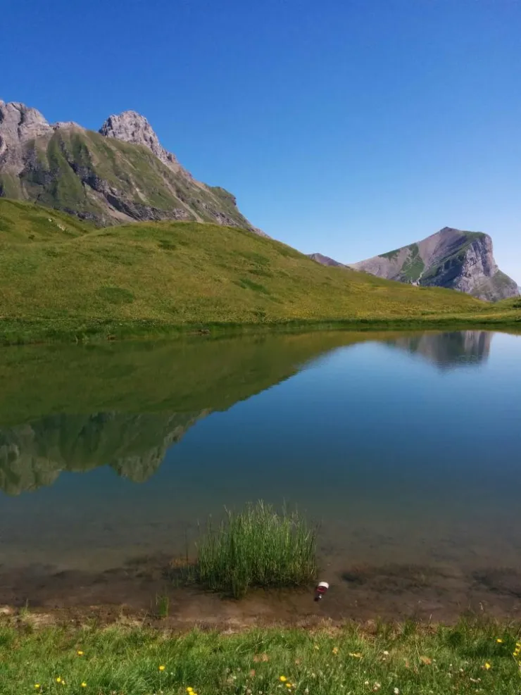
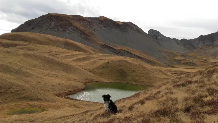
7. You will then reach the Gouille des Fours, at an altitude of 2,030 m, well known to the people of Sallanches. Several smaller pools dot the valley, which is also an area of wetland.
🔹 Panoramic alternative:
From the Gouille des Fours, you can continue to the Tête du Gréppon (2,044 m) to enjoy magnificent panoramic views. ⚠️ Please note that this area is very exposed and has steep drops.
8. After the Gouille des Fours, continue along the bottom of the valley, following the small stream, then climb to the Col de Portette, at 2,128 m, after a short ascent. With a little luck, you may spot bearded vultures.
9. From the col, begin the descent along the trail leading into the vast scree slope below the Col de Portette. The route continues down a series of steep switchbacks before reaching a vehicle track.
10. Follow the track to the left towards the Chalets de Cœur, then continue through the Frédys alpine pastures. Take advantage of this open landscape to admire the surrounding mountain scenery, particularly Croisse Baulet, whose silhouette appears especially pyramid-shaped from this side.
11. Continue along a long stretch through the alpine pastures to the Pierre Fendue, where you can take a break and enjoy the views of Mont Blanc.
12. Continue your descent, passing through the La Charmette area.
13. Continue along the descending trail, following several beautiful mountain streams.
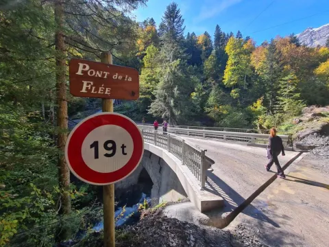
14. You will then reach the Pont de la Flée, which overlooks the confluence of three streams: the Brayon, Fours and Cœur.
15. Continue downhill to the Pont de Bellecombe, then follow the trail back to the Lintre, Phiterne car park, where the hike began.