Languages spoken
- French
Opening
From 01/05 to 30/11 daily.
Subject to snow conditions.
Subject to snow conditions.

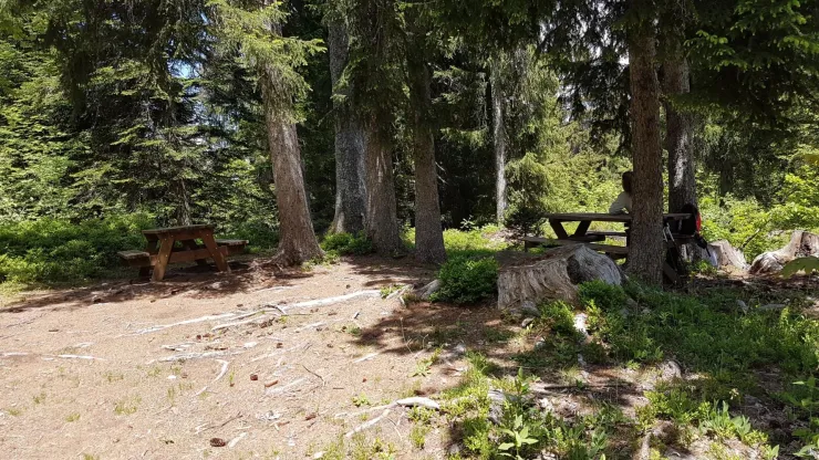
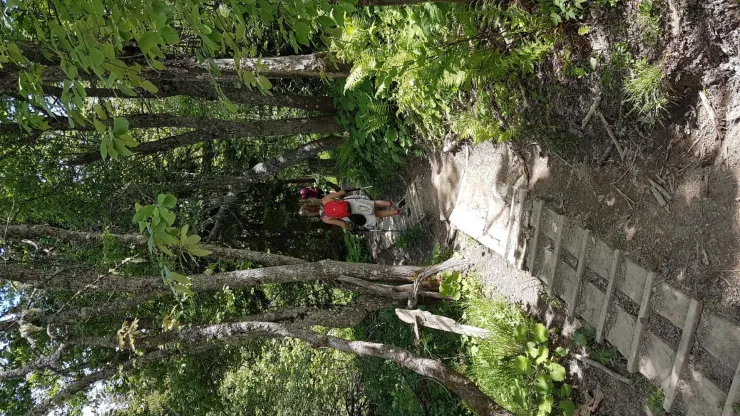
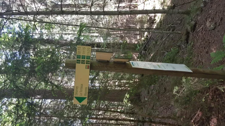
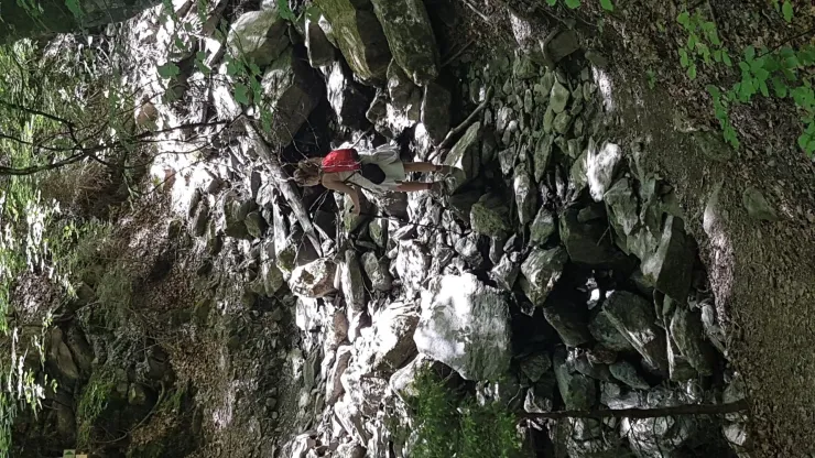
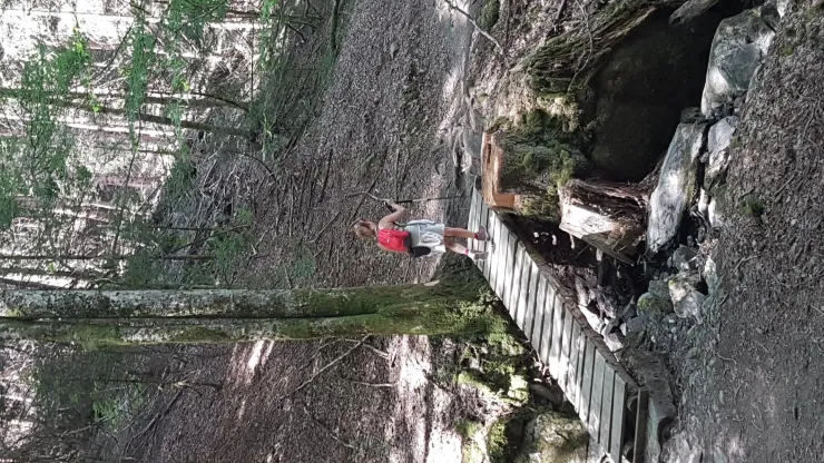
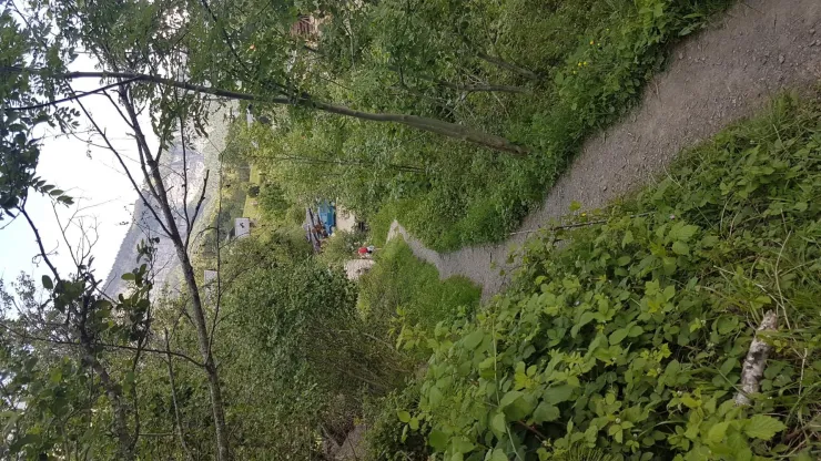
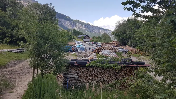
départ : parking de Burzier
route de Doran
74700 Sallanches
France


Start: Burzier car park
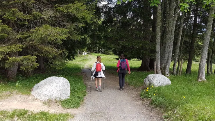
1. At the far end of the car park, take the small trail that climbs through the forest.
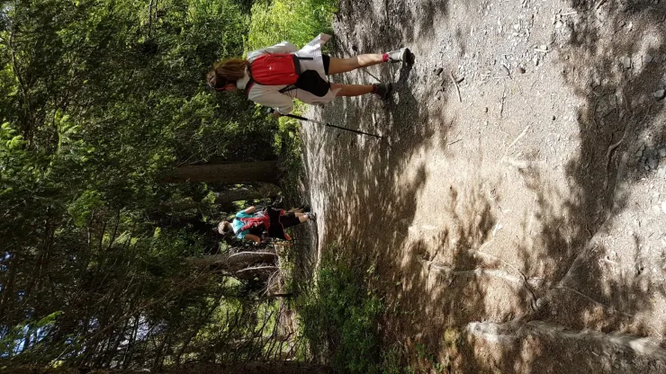
2. The trail crosses the Cornache stream several times, flowing down from the Mayères alpine pasture.
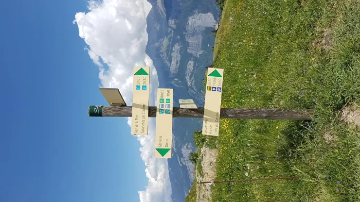
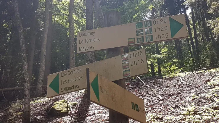
3. At the first junction, take the trail on the right towards Mayères. The trail on the left leads to the village of Les Houches via Les Combes or joins the route to Deramey.
4. At the second junction, continue straight ahead. Leave the trail on your right leading to the jeep track and the trail on your left leading towards Deramey.
5. Continue straight ahead. The third, fourth and fifth junctions lead to the same routes as previously indicated: stay on the trail towards Mayères.
6. At the sixth junction, continue straight ahead towards Mayères. On the right, you can reach the Tornieux mountain refuge. On the left, the trail leads towards Pachettaz, where the routes then split: on the right, towards Les Fours and Pierre Fendue; on the left, towards Couterre and Lintre.
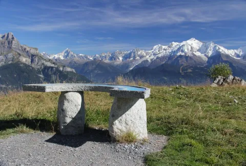
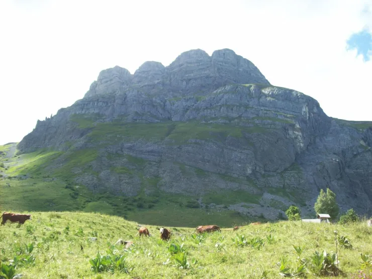
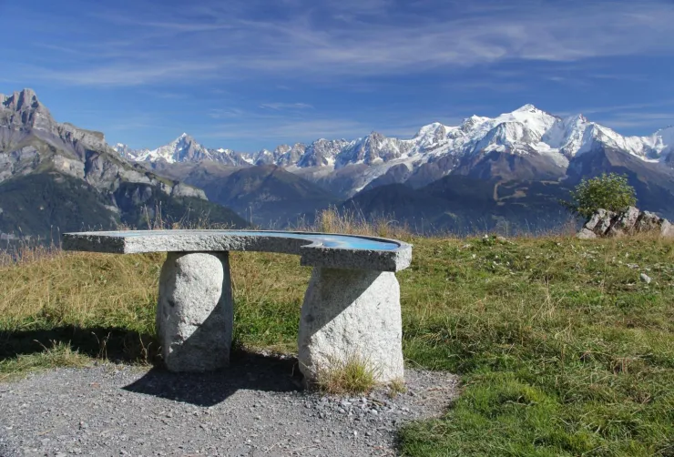
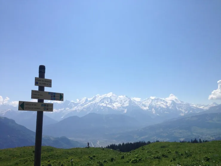
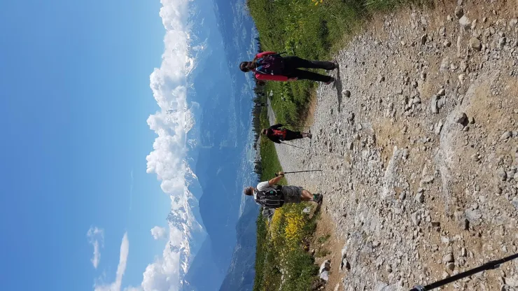
7. You will reach the Mayères cross, near the panoramic viewpoint. Enjoy the superb views over the Mont Blanc massif and the Fiz mountain range, including the famous Aiguilles de Warens.
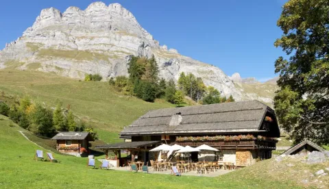
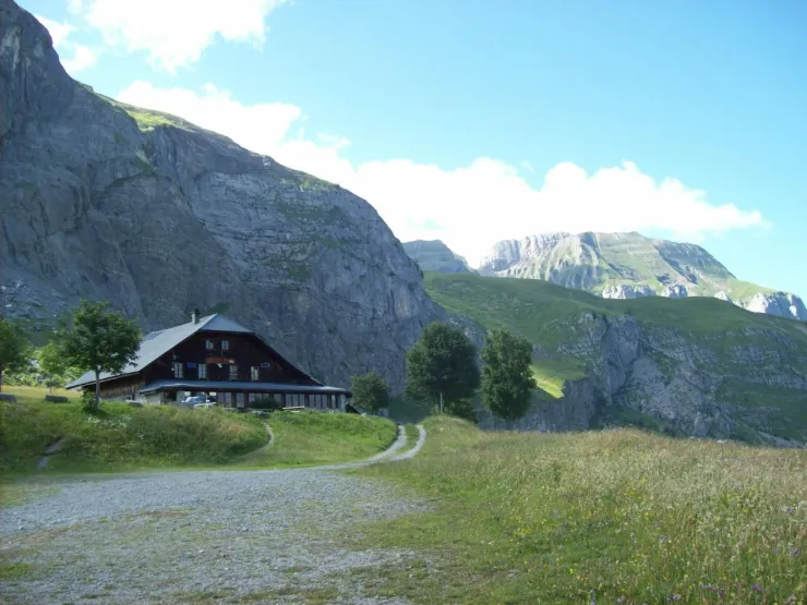
8. You can then continue along the jeep track to the Mayères mountain refuge. Here, you will discover its famous airstrip, the last remaining one in Haute-Savoie. Mayères is also the starting point for numerous hiking routes, including the Arête des Saix and Doran valley, Doigt Cassé, Lanchéron, Quatre Têtes, Les Fours, Pierre Fendue, Cœur valley and Col de Niard.
9. Return via the same route to Burzier car park.