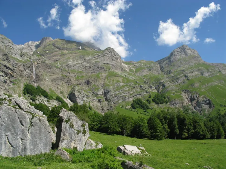
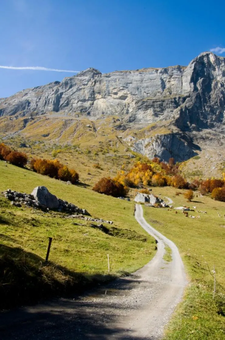
Very beautiful coombe in the middle of the pastures of the same name, you'll fall in love with this place! A great hike over bridges, past waterfalls, torrents... a beautiful 360° panorama awaits you and relaxation in the lush countryside is guaranteed.
Departure: Lintre - Phiterne car park
1.take the motorable path in front of the car park
2.this path climbs slightly in the undergrowth
3. at the fork, take the path on the left which is almost flat with a beautiful panorama of the Aravis, but also behind on the Mont-Blanc Massif.
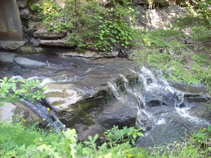
4. continue straight ahead, the path goes a little through the forest and spans a first small bridge, the Pont de Bellecombe, with a small torrent which is very invigorating at the end of winter.
5. after about 30 minutes of walking, you will discover the large Pont de la Flée (renovated in 2020) with the magnificent torrent of Coeur which descends from the Gouille des Fours, via the waterfall of the same name.
6. cross the bridge, and continue to the right on the path which climbs quite steeply. (on the left a path leads you to Cordon)
7. continue this wide and shaded path, it will lead you to a second bridge and then lead to an open space.
8. along this path you will discover very beautiful mountain streams, each just as magnificent as the next.
9. after a few bends you will pass in front of the Chalets de la Charmette.
10. you are not very far when you arrive in front of a cross and see in the distance the mountain pastures where the famous Pierre Fendu is located.
11. opposite on the right a beautiful view of the Fours waterfall and its path which climbs very steeply to the Gouille des Fours.
12. to continue towards the Vallée de Coeur and reach its chalets and mountain pastures "les Freddys", you will take the GR de Pays "Tour du Pays du Mont-Blanc" which leaves to the left of the Pierre Fendu.
13. you will cross the Brayon stream further on and follow the long path leading to the Vallée de Coeur
14. on your right you will see the path which leads to the Col de la Portette to reach either the combe des Fours and its famous Gouille, or the summit of the Miaz.
15. in front of you the col de Niard and the Grand Croisse Baulet
16. on your left you will see the heights of Cordon with the Tête Noire, the Bénés plateau, the Croix du Planet, the Petit Pâtre hut
17. many other hikes go through this route, you can check with your tourist office
18. descent by the same route
19. possibility of descending via the Couterre route which takes a bit of a detour
Walking time is approximate and does not include break times.
Go on a safe hike!
This description allows you to orient yourself globally but does not replace a hiking map at 1/25000 or other topoguides that you can find in your tourist office! In Sallanches, our Office of Guides & Accompanists also offers a wide choice of outings accompanied by mountain professionals providing you with complete expertise on the environment and alpine nature, think about it!
Whatever your hike, check the weather before heading out.
Remember to take cereal bars, sufficient water, sunglasses, sunscreen, a small first-aid kit, as well as clothes suitable for your outing depending on the season in your backpack. and the forecast forecast.
Tips
Useful information
Languages spoken
Opening
From 15/04 to 31/10.
Subject to favorable snow and weather conditions.


